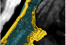
Geographic Information Systems (GIS) are an essential digital tool for the creation and analysis of maps and geographic data, as it offers a wide array of analysis possibilities to scholars who are interested in the geospatial elements of their research projects. This post will guide you through the very basics of GIS mapping concepts. Then, we will use QGIS to project … Continue reading Intro to Mapping using QGIS
