-
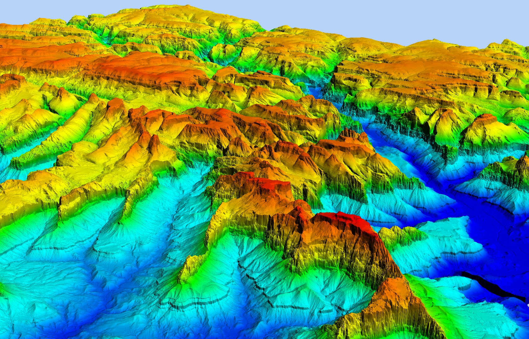
Using raster spatial data in R
A lot of talk is given to spatial data in the vector format (i.e., points, lines and polygons) when...
0 -

How to Organize Data for Maps
As a form of data visualization, mapping is an informative way to explore and communicate our data and results....
-
Quick and easy mapping with R
The R language is a very versatile tool, which explains why it is used by so many academics (with...
- An error has occurred, which probably means the feed is down. Try again later.